Hello, I’m Ruth and I love making illustrated maps!
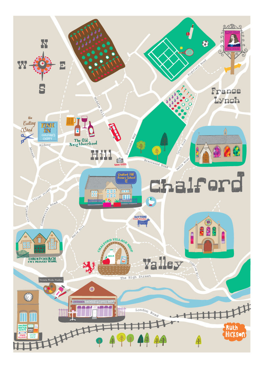
My illustrated map journey started in 2015, I had been working as a freelance textile designer since leaving university, but having moved to the country and taken a break to have kids I was feeling a bit out of touch with the industry and struggling to find my mojo. So I took an online class with makeartthatsells.com In week 4 the The brief was to create an illustrated map of your town or city. I chose the small Cotswold village we live in, and so the Chalford map was born and everything I’ve done since with maps has flowed from that.
First local people saw the map and liked it, my friends bought prints of it and then their friends bought prints of it, that was nice. Then Adam at Good On Paper saw the maps and asked if I’d create some family friendly illustrated walking trails for their new local kids listing magazine (Earwig magazine, now sadly defunct). That was great fun, and that lead to more people seeing my maps and work making maps began to gradually increase. Today nearly all my illustration work is map based and I could not be happier with that! I like all aspects of it, I love illustrating little scenes and drawing buildings or animals or whatever is required, but I also really love getting to grips with the mapping, making it all fit in beautifully without compromising the technical side of the map.

My idea for this blog is to combine my map making with my daily walking. I walk everyday because we have a dog, if we didn’t have a dog I would not walk every day, that’s a simple fact - I’m essentially quite lazy and not at all sporty, I’d rather be in a cafe. I don’t enjoy really long and difficult walks, but I know walking is good for my physical and mental health, plus when I’m out in the fresh air I do actually enjoy it!! I think there must be loads of people like me and so I wanted to share my small scale exploring and use it as a prompt for some new illustrated walking routes.
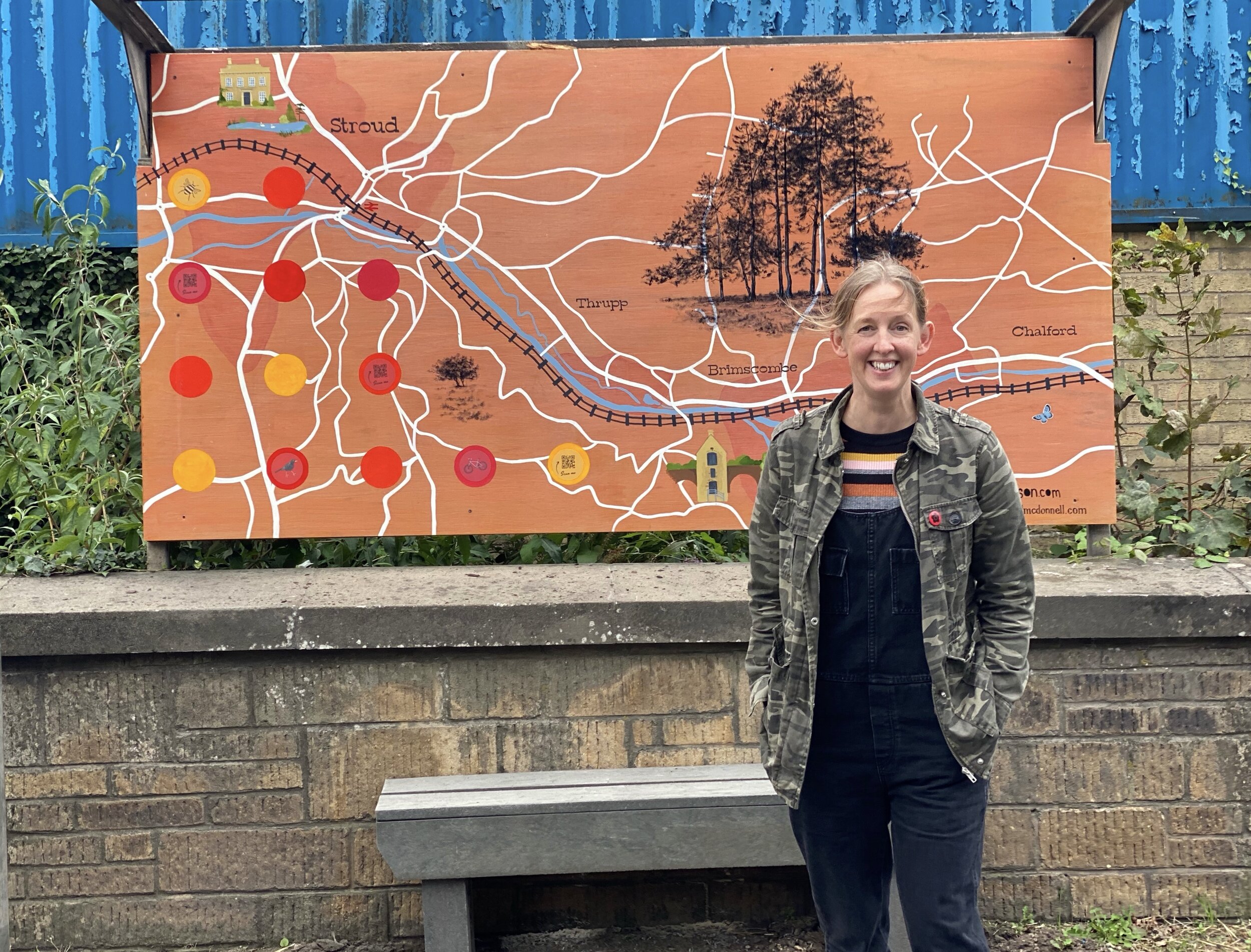
This is me in front of the map created by Rachel Mcdonnel and I for the Brimscombe Art Shelter Project in 2020